NISAR to deliver 100m soil moisture data every 13 days across India: ISRO
NISAR is systematically imaging the Indian landmass in S-and L-bands to deliver high-resolution and wide swath data with 12 days repeativity.
PTI

-
The physics-based soil moisture retrieval algorithm, developed at SAC-ISRO, ensures scientific robustness, reliability and accuracy (AI)
BENGALURU, 14 FEB
NISAR is
systematically imaging the Indian landmass in S-and L-bands to deliver
high-resolution and wide swath data with 12 days repeativity, the ISRO said on
Saturday.
This
data has been effectively utilised to demonstrate the generation of
soil-moisture products at a high resolution of 100m, it said.
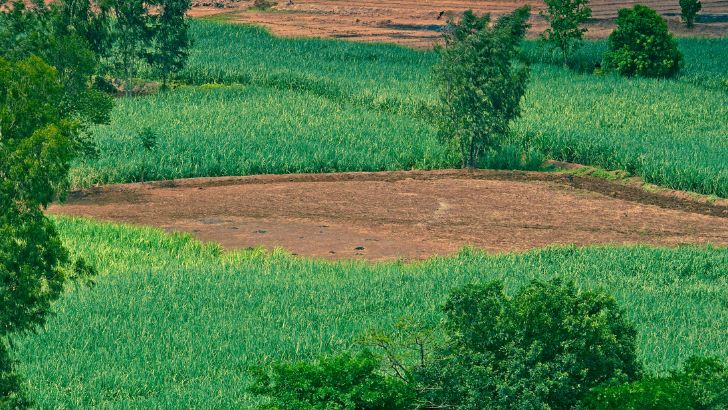
Being a
key indicator of crop health, irrigation needs and drought risk, soil-moisture
plays a vital role in India’s agriculture and water management, the space
agency said.
An ISRO
statement said the soil-moisture products, demonstrated using both S-and
L-bands data, provide consistent estimates across India’s diverse agro-climatic
regions, that is, from irrigated plains and rain-fed farmlands to semi-arid and
high-rainfall zones.
The
physics-based soil moisture retrieval algorithm, developed at Space
Applications Centre (SAC-ISRO), ensures scientific robustness, reliability and
accuracy, it said.
“With
the ability to deliver two observations every 12 days, NASA-ISRO Synthetic Aperture Radar (NISAR) enables near-real-time tracking of soil moisture
dynamics. This frequent monitoring supports irrigation planning, drought
preparedness, agrometeorological advisories, and regional water resource
management at scales relevant to districts and farming communities,” ISRO
stated.
ISRO said that to support national operations, the 100m Level-4 operational soil moisture products with two observations every 12 days will be systematically generated at the National Remote Sensing Centre (IMGEOS/NRSC) and disseminated through the Bhoonidhi Portal, ensuring seamless access for farmers, planners, researchers, government agencies and Non-Government Entities (NGEs).
Share Now
Leave a Reply
Your email address will not be published. Required fields are marked *
Other Stories
.png)
.png)
.png)
.png)